

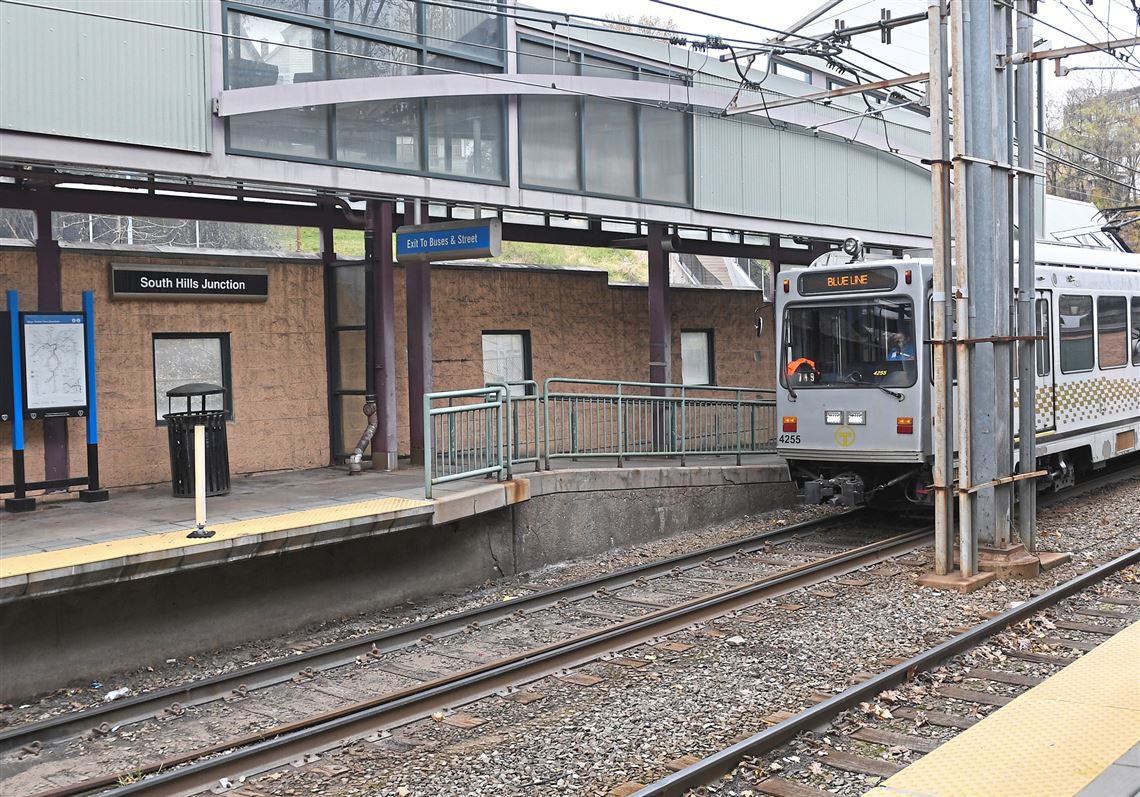

Right now, South Hills Junction is a sprawling, almost-industrial looking site deep in a valley with separate stations for Port Authority’s buses and light rail system.
But a master plan the authority unveiled Tuesday would place dozens of apartments on three parcels at the site, build a foot bridge through the site that connects Beltzhoover and Mount Washington, and reconnect the site to the neighborhoods around it by upgrading or reopening more than a half dozen sets of steps to the junction.
Authority Planning Director Amy Silbermann said the agency views the work as “one giant project” but station improvements could begin in about two years. The agency doesn’t have a cost estimate on station and site improvements yet.
Private development could follow on land leased from the authority over the next five to 10 years.
The plan calls for creating a joint bus-light rail station at the site of the current light-rail station. That move and the relocation of a salt dome would open up three parcels for development, one of 75,000 square feet, one of 80,000 square feet and one of 45,000 square feet. Moira Egler, project manager for transit-oriented communities, said the agency envisions apartment buildings four or five stories tall at the larger parcels along Warrington Avenue with first-floor commercial development and underground parking, and townhomes at the smaller site on Haberman Avenue.
Officials stressed those are only concepts for the sites and other options could emerge when the agency seeks formal proposals from developers.

One element to connect the neighborhoods is a proposed 180-foot bridge for pedestrians and cyclists that would stretch from Lelia Street in Mount Washington across the valley in the junction to Warrington Avenue in Beltzhoover. About midway across the valley, the authority would build what it calls a control tower with steps and elevators to carry passengers to and from the transit station below.
Other elements would be improvements to a walking trail from Albert Street to Harwood Way, with new stairs from Paur Street to the trail. Additional stairs to the site will be improved or reopened from Lelia, Harwood and Jasper streets and an ADA ramp will be added from Secane Avenue to Haberman.
Once private development gets a strong foothold, the authority plans to reconfigure the intersection of Haberman and Warrington at the junction entrance to install brighter crosswalks to protect pedestrians. A new intersection would be created on Delmont Avenue at Warrington
Rich Kracovic of consultant GAI said Pittsburgh is working on complementary projects for the intersection at Boggston Avenue and bike lanes on Haberman.
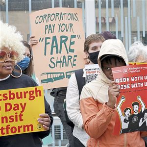
The station’s redesign is part of the authority’s attempt to push transit-oriented development, placing housing and businesses at or close to transit stations. That kind of development has proven popular in other cities, where low-income or service workers without private cars can take advantage of public transit to reduce their cost of living.
The agency is about to begin work on the Negley Station in Shadyside and is finalizing plans for improvements at the Station Square Station and in Dormont.
Ed Blazina: eblazina@post-gazette.com, 412-263-1470 or on Twitter @EdBlazina.
First Published: November 17, 2021, 12:47 a.m.