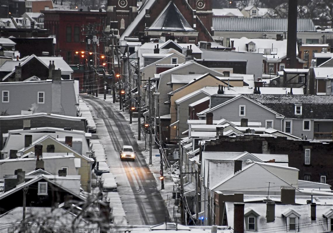
This weekend could bring Allegheny County its biggest snowfall yet this season.
“But that’s not saying much,” said Lee Hendricks, a meteorologist with the National Weather Service in Moon.
Its forecast calls for up to 2 or so inches in the Pittsburgh area, much of it arriving Saturday afternoon and perhaps continuing into the night. Any lingering snowflakes should move out by early morning on Sunday, Mr. Hendricks said.
As of Friday morning, the 2018-19 winter season delivered just 7 inches of snow to the area — about half the normal tally for this point in the season, Mr. Hendricks said.
Precipitation this weekend could be enough to make for dicey driving conditions, particularly at night, he said.
“The storm system is actually passing to our south,” Mr. Hendricks said. “Once again, we’re just going to be on the periphery.”
Snow showers should gradually taper off overnight, with little or no additional accumulation. Mainly dry weather is expected Friday before low pressure returns snow to the area for the weekend. pic.twitter.com/fSPgxc4vUM
— NWS Pittsburgh (@NWSPittsburgh) January 11, 2019
Predictions put much of the snowfall south and east of Pittsburgh, according to the weather service. Parts of northern West Virginia could see up to 3 inches Saturday, followed by another 1 to 3 inches overnight into Sunday, Mr. Hendricks said.
Temperatures Saturday and Sunday in Pittsburgh are forecast to top out around the freezing mark. Monday and Tuesday should be a little warmer with sunshine, according to the weather service.
First Published: January 11, 2019, 3:12 p.m.


