


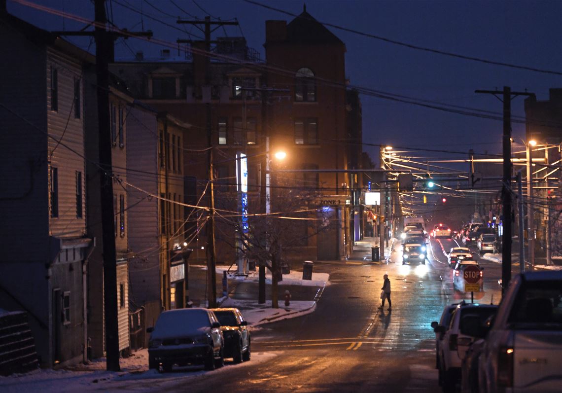
A winter storm warning has been issued for southwestern Pennsylvania – with anywhere from 6-8 inches of snow forecast as of 10 p.m. Friday – as a fast-moving weather system churns its way across the Midwest.
Butler County, much of Beaver County and areas farther north of the city, especially near the Interstate 80 corridor, could see up to a foot of snow.
No major changes were made to the forecast for the Upper Ohio Valley Region overnight. The entire area is under Winter Storm Warnings and Advisories for snow and ice accumulation through Sunday morning. pic.twitter.com/lEUnWkYsqc
— NWS Pittsburgh (@NWSPittsburgh) January 19, 2019
The National Weather Service said the storm warning is in effect from 10 a.m. Saturday through 10 a.m. Sunday. Gov. Tom Wolf on Friday declared a state of emergency as various state agencies prepare for the storm’s impact.
Lee Hendricks, a meteorologist with the Weather Service in Moon, said Pittsburgh will likely see anywhere from 3 to 5 inches during the afternoon hours and up to an additional 4 inches by Sunday morning.
⚠️With an intense winter storm expected to bring heavy snow, high winds, sleet and freezing rain across the state, a commercial vehicle ban will be in place between noon Saturday and noon Sunday on all interstates and the Turnpike, except for I-95. ℹ️INFO: https://t.co/fBDS8Jvix5 pic.twitter.com/EX4GfemMil
— PA Department of Transportation (@PennDOTNews) January 18, 2019
He noted, however, that snow amounts could change depending on the slightest shift in the storm’s track. Meteorologists will have a better idea of snow totals as the storm system gets closer.
“Our biggest concern is if the storm shifts further south, we get more snow; but if it shifts north, we get rain,” Mr. Hendricks said, adding that the storm is moving fast.
If you have travel plans here is when the winter storm is suppose to start and end. #winter #snow #pawx #wvwx #ohwx #mdwx pic.twitter.com/U4nPXM49oe
— NWS Pittsburgh (@NWSPittsburgh) January 18, 2019
The slightest shift in the storm’s track could mean more sleet than snow for Pittsburgh. Sleet occurs when water droplets freeze before reaching the ground. Freezing rain forms when rain freezes on contact with the surface.
The forecast calls for mostly rain or sleet Saturday night into Sunday morning. That’s also when temperatures plunge into the teens. But Sunday night will feel more bitterly cold when temps drop even further — to around 0 with wind chills of minus-15 degrees, according to the weather service.
Monday may be the coldest day so far this winter, with a high in the teens and a projected low of 4 degrees. Tuesday morning will also have temperatures in the single digits, but it should rise fairly rapidly into the 30s.

Travel could be very difficult to impossible during the storm, the weather service said.
PennDOT spokesman Steve Cowan said speed limits will be restricted to 45 mph on the interstates and expressways as the storm progresses.
He said the Pennsylvania Department of Transportation is working with other agencies — the Pennsylvania Turnpike, the Pennsylvania Emergency Management Agency and the Pennsylvania State Police — to coordinate efforts ahead of the storm and will be staffing the Commonwealth Response Coordination Center throughout the duration of the storm.
“Travel will be very challenging this weekend with the combination of heavy snow, high winds, sleet, freezing and plain rain and then a rapid drop in temperatures on Sunday,” PennDOT Secretary Leslie S. Richards said.
Last winter in Pennsylvania, according to the governor’s office, preliminary data showed 440 crashes resulting in 221 injuries on snowy, slushy or ice-covered roadways in which aggressive driving was a factor.
READ MORE: Stuck cars and snow angels: Photos of past Pittsburgh snowstorms
Motorists can check 511PA.com online for the latest travel conditions across the state. Users can also see plow truck statuses and travel alerts along specific routes using the “Check My Route” tool.
Snowfall of 12-24 inches will be more common in the heaviest band from the upcoming snowstorm. However, close to 30" of snow is likely to fall on parts of central and northern New York state to perhaps the northern tier of Pennsylvania: https://t.co/XAe3N3nLI5 pic.twitter.com/f8DwHpJbUY
— AccuWeather (@breakingweather) January 18, 2019
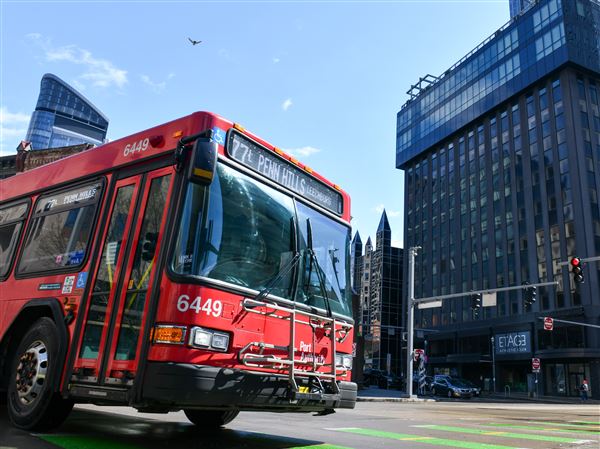
Port Authority will have extra maintenance crews working to handle any storm-related service issues. On Monday, the transit service will be operating on its usual weekday schedule.
Amtrak is modifying service in the Northeast and Midwest because of winter storms moving through the region, and the rail line has canceled several trains scheduled to run Sunday in anticipation of the storm.
On the Keystone service, which goes from New York to Philadelphia to Harrisburg, trains 662, 664, 672, 661, 667 and 671 are canceled. On the Pennsylvanian service, which goes from New York to Philadelphia to Harrisburg to Pittsburgh, trains 42 and 43 are canceled.
First Published: January 17, 2019, 1:59 p.m.
Updated: January 19, 2019, 4:24 a.m.